Fethiye down to Kaş
The coast narrows and deepens between the two towns; the bays that made Göcek easy become scarcer, and what replaces them is harder to leave.
Where the character shifts
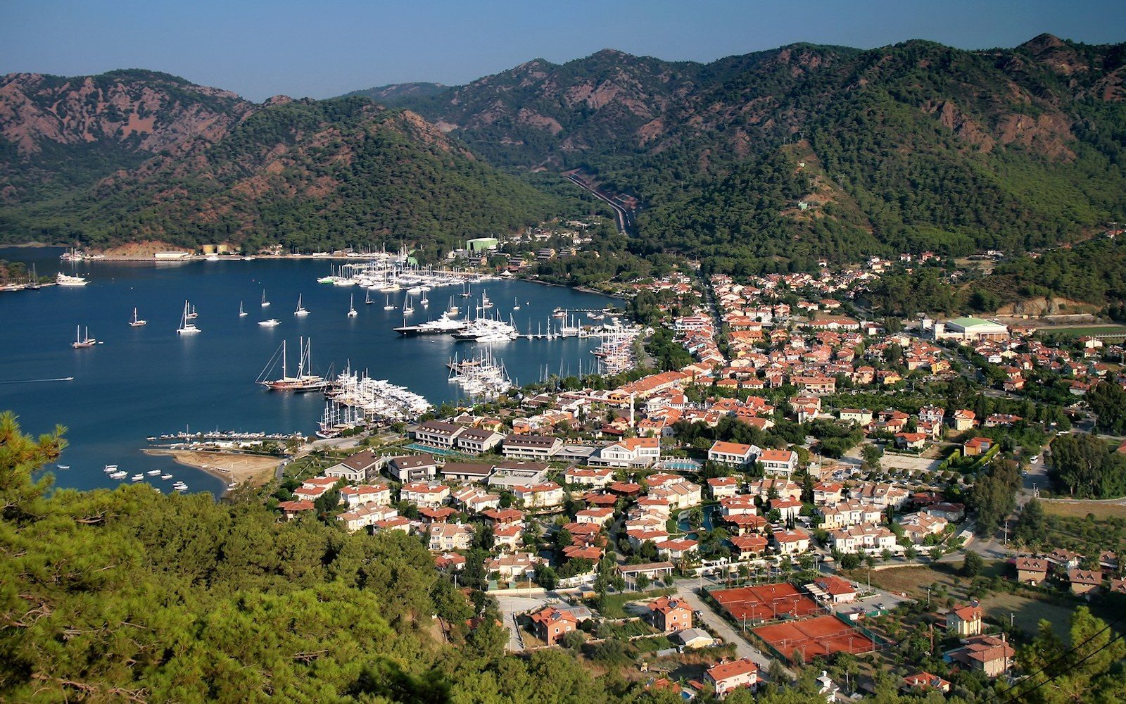
Fethiye sits at the head of a large, protected gulf, its water calm enough that Göcek and its twelve islands to the north can feel like a different sea altogether — sheltered, busy in season, always another cove an hour away. South of Fethiye the coast changes its terms. The gulf closes behind you and the shoreline turns serious: limestone cliffs running straight into deep water, fewer beaches, and the kind of anchorage where you set a second anchor because the bottom drops away fast behind the first.
The distance from Fethiye to Kaş is roughly 55 nautical miles as a direct passage, but nobody sails it directly. The intermediate stops — Ölüdeniz, Patara, and the extraordinary stretch around Kekova — are the reason to be on this coast at all, and each one slows a passage by at least a day. Most boats leaving Fethiye in the morning reckon on two to three nights before arriving in Kaş, which puts them exactly where the coast wants them.
Ölüdeniz and the change of scale
Ölüdeniz, the lagoon most photographed from the paragliders launching off Babadağ above it, is a study in the difference between looking at a place and anchoring in one. The outer bay is open, deep, and workable; the inner lagoon — the famous turquoise strip — is a protected national park and closed to boats overnight. The surrounding scenery is genuine enough to survive its own fame. What the anchorage teaches quickly is that the meltemi reaches here without the dampening effect of islands to the north: by early afternoon in July and August, the fetch builds and the anchorage becomes uncomfortable. The meltemi and its schedule govern every passage on this stretch, but at Ölüdeniz the timing matters more than most places, because there is no easy alternative bay to duck into close by.
South from Ölüdeniz the Lycian coast ↗ asserts itself. The mountains are closer to the water, the road that followed from Fethiye pulls inland, and the villages are fewer. Patara's beach — at roughly 18 kilometres, one of the longest continuous beaches in the Mediterranean — is visible from offshore as an unbroken pale line below the dunes. The ruins of Patara itself, which served as the principal harbour of the Lycian League and was a significant port until its river mouth silted in late antiquity, lie inland from the beach. There is no useful anchorage at Patara; the bay is exposed and the bottom shelves gradually, which means the coast here is something you pass rather than stay in.
Kekova, and then Kaş
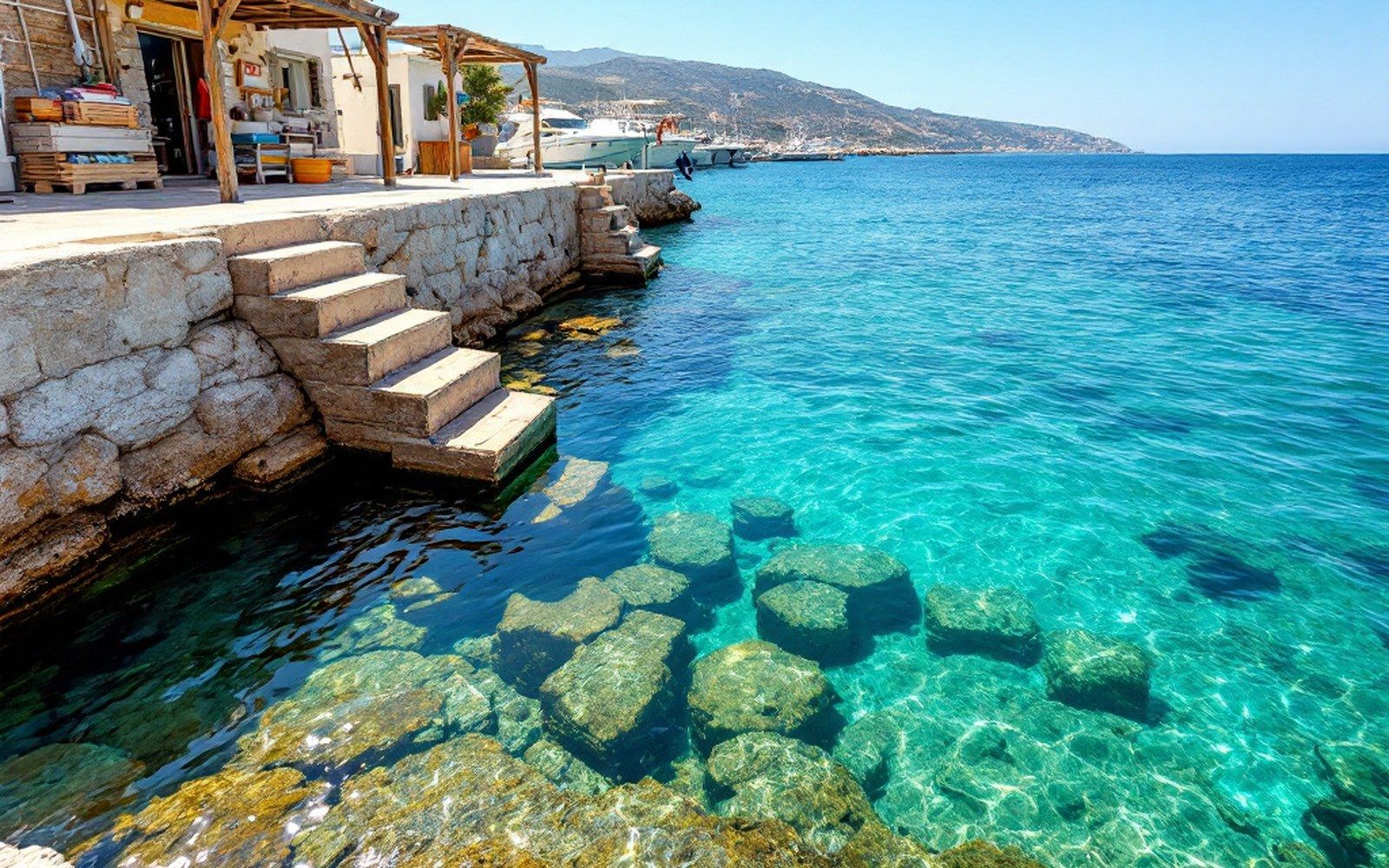
The water south and east of the Kekova roads is among the most sheltered on the coast precisely because it is enclosed: the island of Kekova itself lies parallel to the shore, forming a long channel that breaks the swell and produces flat water almost regardless of what is blowing outside. Simena — the village above the submerged Lycian ruins — is the reason most crews anchor here twice. There is a charge for anchoring in the Kekova protected zone, collected by the local municipality, and the holding is good. What is underfoot is a Lycian town that subsided into the water in the second century ↗, most likely after seismic activity; the staircases and doorways visible below the surface belong to houses that were occupied when they went under.
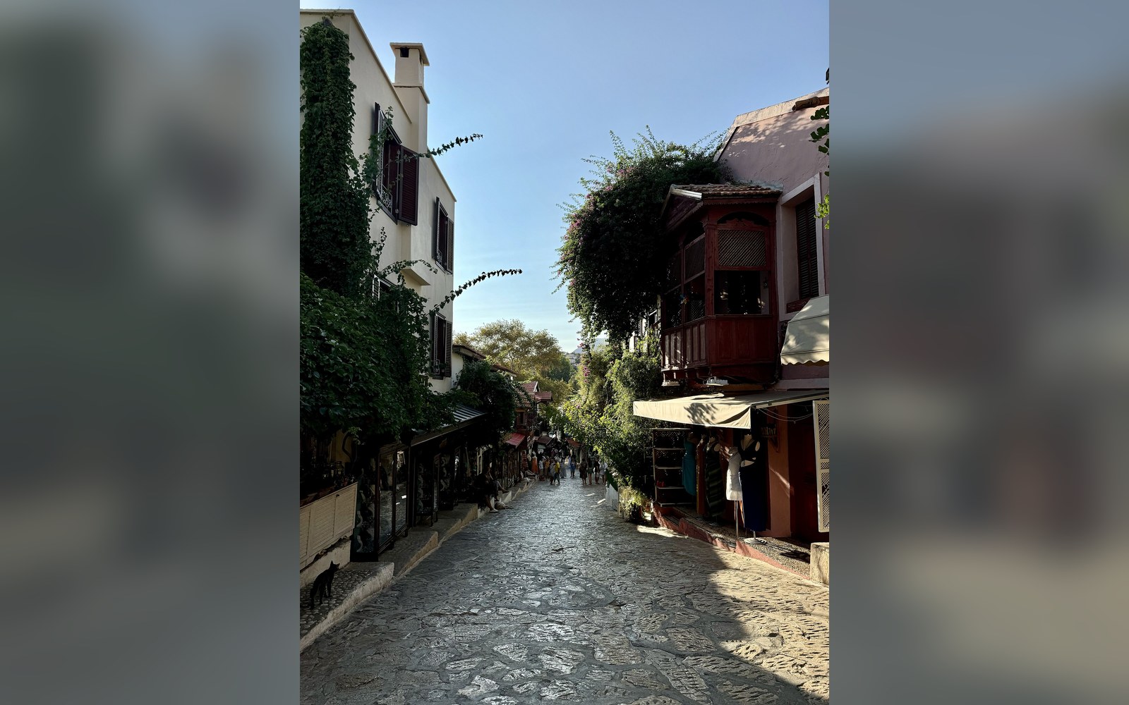
Kaş arrives after a morning sail from Kekova, its small harbour sitting below a hillside town that has kept its scale while losing very little of its character. The quay is stern-to in the harbour, the holding reliable, and the town within ten minutes' walk. It is also the last good Turkish port before the Dodecanese — Kastellorizo lies just over three nautical miles offshore — and it feels like the end of something rather than the beginning.